Srinagar, February 17: A fresh Western Disturbance is set to impact Jammu and Kashmir on February 20, bringing widespread rain and snowfall across the Union Territory, according to the latest weather forecasts.
The disturbance is expected to develop over Afghanistan on February 19 and swiftly move towards the region by the following day. The first signs will be felt in the higher reaches late on February 19, with precipitation gradually intensifying as it spreads across Jammu and Kashmir.
Rain and Snow Across the Region
Moderate rainfall and snowfall are expected in most parts of the Union Territory, with some areas likely to experience heavy spells. The Jammu region is anticipated to receive higher precipitation on average compared to the Kashmir Valley. In particular, the Chenab Valley districts, including Ramban, Kishtwar, and Doda, are forecasted to witness moderate to heavy precipitation.
In the plains of Kashmir Valley, rain is likely to dominate initially. However, a sharp drop in temperatures could lead to a transition to snowfall, especially under prolonged heavy precipitation.
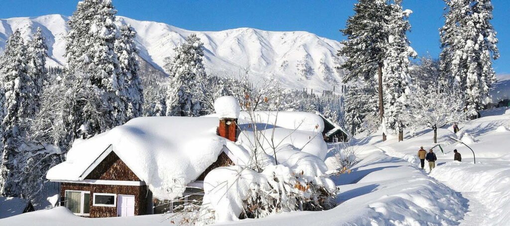
Temperature Drop and Heavy Snowfall in Higher Reaches
Temperatures, which are predicted to range between 15°C and 18°C on February 19, are expected to drop sharply below 7°C on February 20. The Pir Panjal range is likely to receive heavy snowfall, affecting popular destinations such as Gulmarg, Sinthan Top, Peer Ki Gali, and other parts of the Mughal Road.
Lightning, Thundershowers, and Travel Advisory
Due to relatively higher temperatures, lightning and thundershowers are expected, particularly in the Jammu region. Travelers are advised to exercise caution as there is a risk of shooting stones and landslides on the Jammu-Srinagar National Highway on February 20.
Improvement in Weather from February 21
According to weather experts, conditions are expected to improve from February 21 onwards.___KW
Stay connected with TKA News for the latest weather updates and advisories.